Topographic Surveys
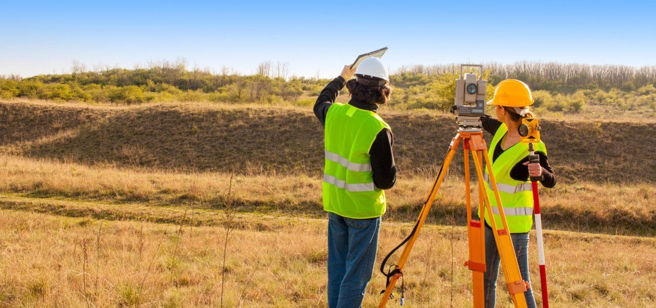
Topographic Surveys involve the production of maps and plans which are true to scale. The maps are created to exactly represent details of both the natural and built environments.
Topographical surveys can record the condition of buildings for conservation or historical records. It can detail surfaces & topography for engineering works and record the condition of projects at different stages making an accurate record of a building for quality control and certification purposes. The survey can establish floor, ceiling and window levels as well as producing plans, sections and elevations.
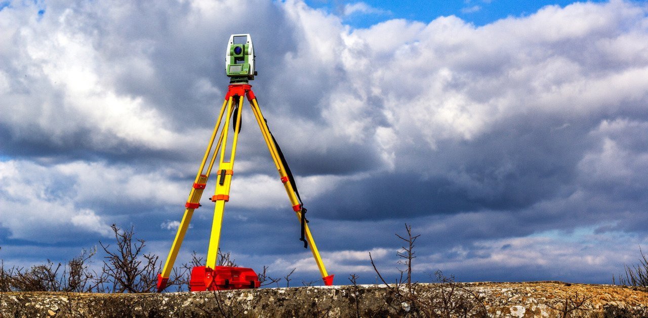
Using equipment including GPS and Robotic Total Stations, Laser Scanners and Precise Digital Levels with on-board digital storage, Navas Surveys can measure any feature of the built or natural environment swiftly and precisely and to the highest standard attainable.
We produce maps in-house to the scale and format requested by our clients. Outputs include 2D and 3D Plan Drawings Sections, profiles and volumes, Autodesk Civil 3D surfaces, MX GENIO and LandXML outputs, 3D Modelling, 3D Animation/Fly-Through Videos, 3D Visualisation and Building Information Modelling (BIM).
Laser Scanning

Remotely capture data from potentially hazardous sites, e.g. motorways or structurally unsafe buildings

Fast data capture; critical on sites with limited access, e.g. crime scenes

Complete data collection enables further investigations to be carried out later on without costly returns to the site

Reduces the costs and downtime associated with construction rework, site revisits and field changes

Lower cost as-built and topographic survey method compared to alternatives

Improved accuracy and precision reduces the risks associated with project execution

Highly-detailed data improves decision-making and engineering designs

Enables factory fabrication, as opposed to field fabrication

Enables 3D Modelling and Building Information Modelling (BIM)
Conservation / Heritage Surveys
Navas Surveys offer Laser Scanning, Rectified Photography and Measured Building Surveys as solutions for providing accurate surveys and highly-detailed digital replicas of properties, structures, sites and objects for historical and conservation purposes.
Applications include digital record of buildings for historical archives or conservation, producing 3D models of Buildings/Objects/Details, producing 2D Plans, Sections and Elevations, monitoring and environmental purposes, for photographic records, calculating Net Internal Areas, establishing floor, ceiling, roof and window levels and for Measured Building Surveys.
Deliverables can be produced in a large range of formats - please contact us to discuss your needs.
Facade / Elevation Building Survey Services
Navas Surveys utilise the latest equipment and technologies to produce highly accurate facade / elevation surveys. Our experienced staff define the most suitable methodology to meet the precise requirements of the client, in order to deliver the most effective survey attainable.
We can create 3D models and visualisations of the exterior of a building in conservation, heritage, historical, planning and design purposes.
Surveys capture structural detail that is not adequately portrayed in floor plans and sections, saving time and money. Work can be completed without direct physical access from potentially hazardous sites to reduce on-site risk, thus making it a non-invasive survey method. A high level of detail is captured with 3D Laser Scanning, and this is advantageous in surveying complex or detailed structures.
Deliverables can be produced in a large range of formats including Autodesk AutoCAD, Bentley MicroStation, 2D Drawings, 3D Models, Rectified Photography, PDF Reports and 360 degree Panoramic Photography.
Measured Building Survey
Measured Building Surveys are highly accurate as-built surveys carried out before, during and/or after construction projects. This type of are used for verification and record purposes, area calculation, and to identify any variations from original plans. MBS measures floor plans, sections, elevations and facades.
Navas Surveys use the latest technologies such as 3D laser scanners and Total Stations linked to tablet PCs to bring the real-world building into the virtual environment through its measured surveys services. Our efficient site survey measures and processing procedures cut costs and risks for our clients.
Deliverables can be produced in a large range of formats. Point cloud data from laser scanners can be supplied quickly in TruView format giving you instant access to inspect the raw data dimensionally. Outputs also include Autodesk AutoCAD, Bentley MicroStation, 2D Plans, Maps and Drawings, 3D CAD Wireframes, Cross Sections, Elevations and 360 degree Panoramic Photographs.
Download our booking form here
"I would highly recommend these surveyors. My surveyor, Simon, went above and beyond what was required and was very polite and friendly.
"He contacted me immediately after he had carried out the survey, and went through his findings with me. He gave me advice and contacts, and much more information than I paid for!
"He also answered his mobile out of hours and answered some questions I had. The office staff, Claire and Janet, were also very helpful and friendly. Navas also price matched my best quote, so provided very good value for money."
Alison H
